
What is Copernicus?
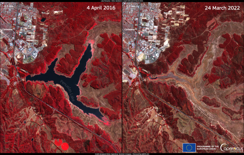
Copernicus is the Earth observation component of the European Union’s space program and studies our planet and its environment for the benefit of Europe’s citizens. The images captured by the Copernicus Sentinel satellites have many practical applications. The six specialized Copernicus services help scientists and authorities to understand conditions on the Earth’s surface, in the water and in the atmosphere. One example is an image of Lake Peñuelas in Chile, which shows the drought in the Valparaíso region.

All images are linked to the Copernicus and ESA entries.
There you will find all the details on the location, time of recording, visualized data and the images in their original size.
Satellite image or work of art – or both?
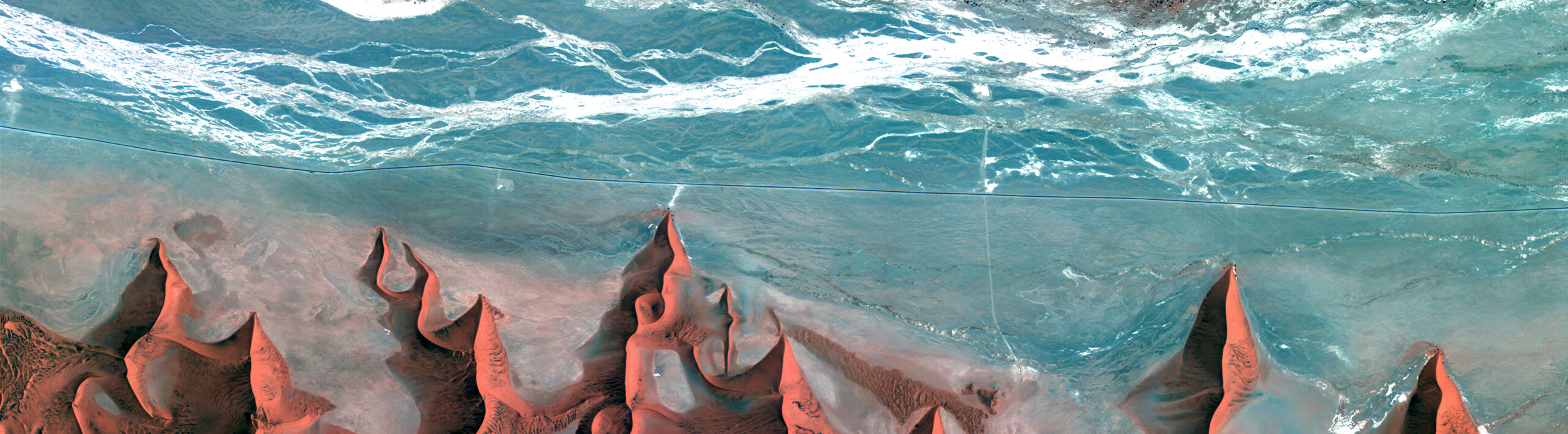
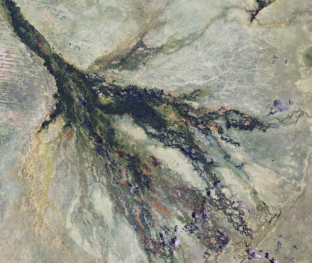
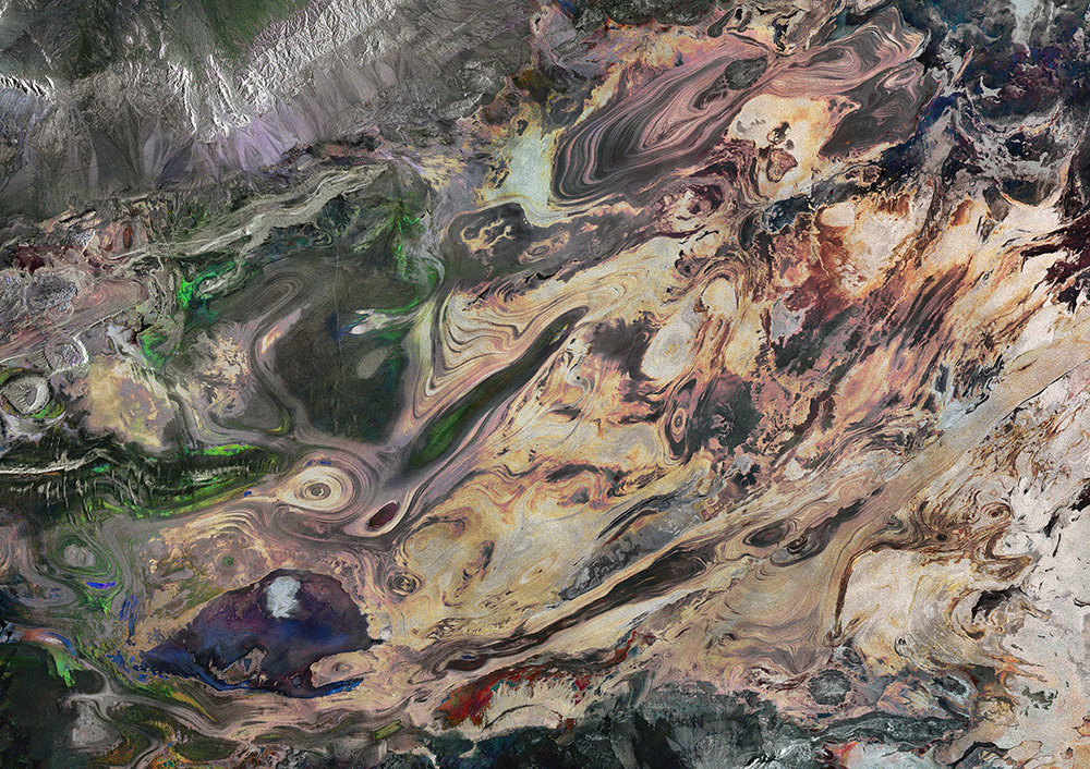
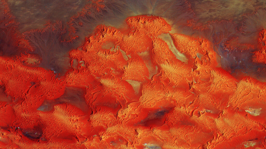
Copernicus’ contributions to society do not stop at the physical nor the practical. It is clear that the Earth is beautiful from space. The Sentinel satellites capture unique perspectives of the surface of the Earth highlighting various colours, textures, patterns. From the blues and greens of Caribbean or Pacific coral reefs to the reds and oranges of the Atacama desert the Earth’s vast colour palette is an innate source of beauty.
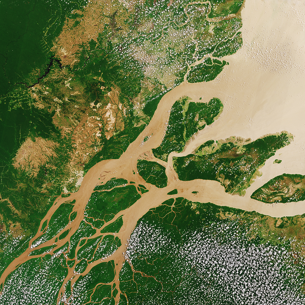
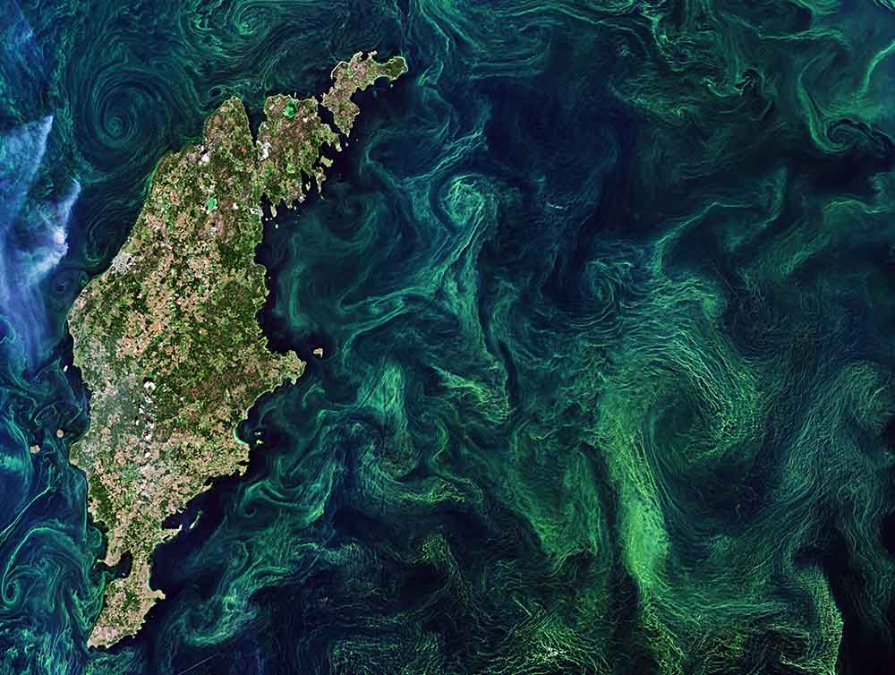
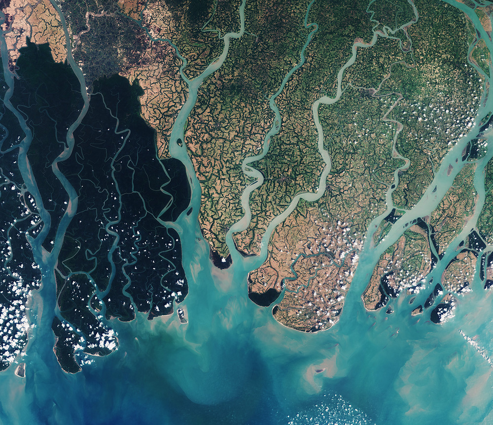
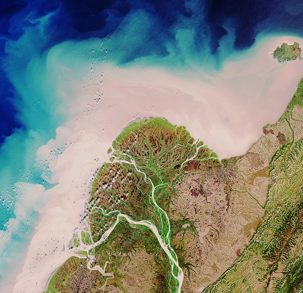
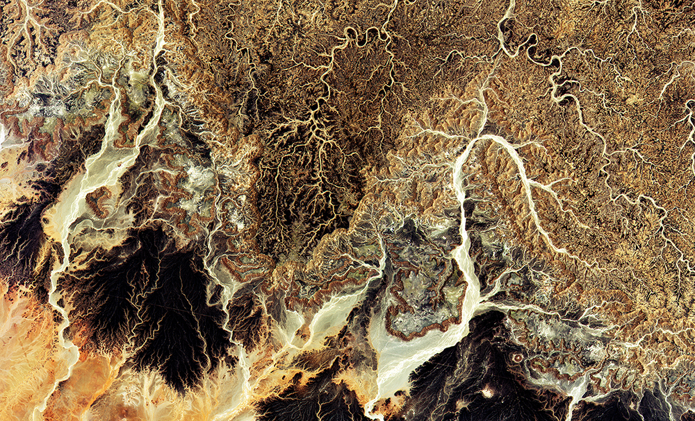
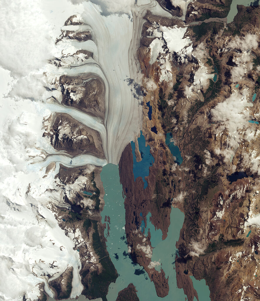
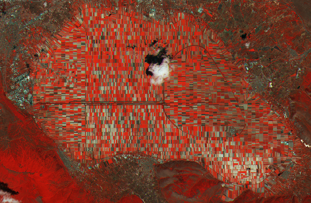
Many images have “unnatural” colors because they are captured by sensors that record features in non-visible wavelengths. These images must be processed using “false” colors to make the parameters under investigation visible. This gives scientists the opportunity to add an artistic touch to their technical work.
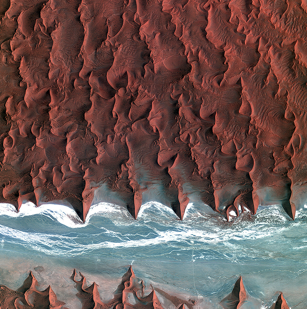
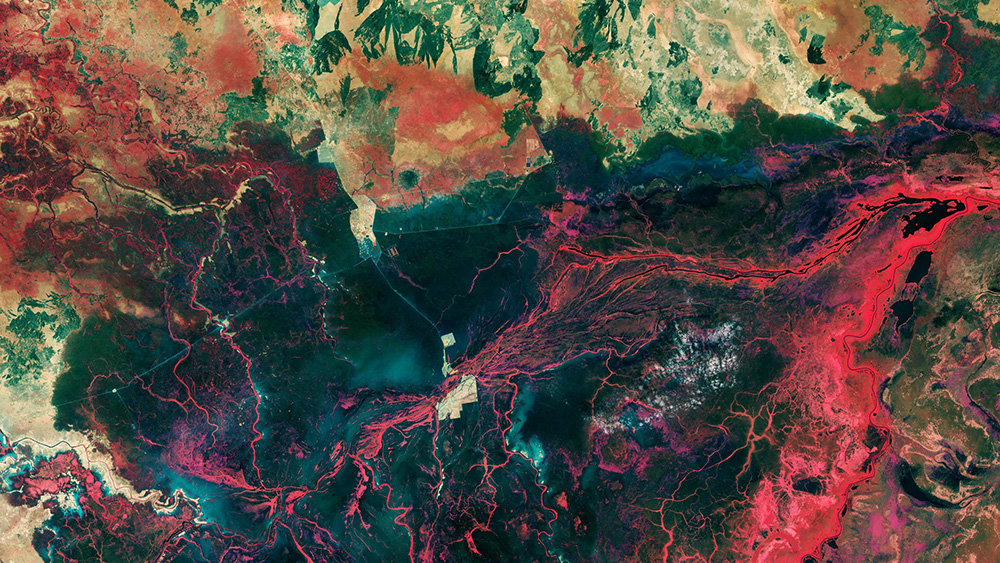
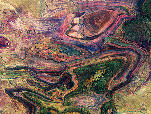
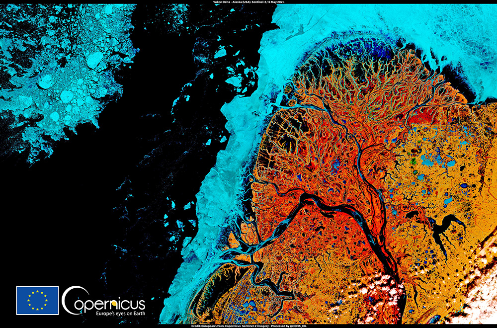
If you browse through the databases, you will find many satellite images that are practically indistinguishable from an abstract painting:
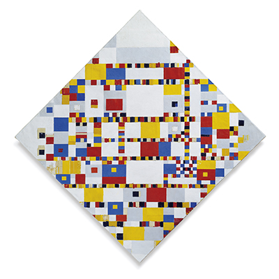
Some processed images even resemble existing works of art. One example is a picture of the Italian region of Abruzzo, which looks like a painting by Piet Mondrian.
Geo Art – Earth from Space
By Susan Reuter
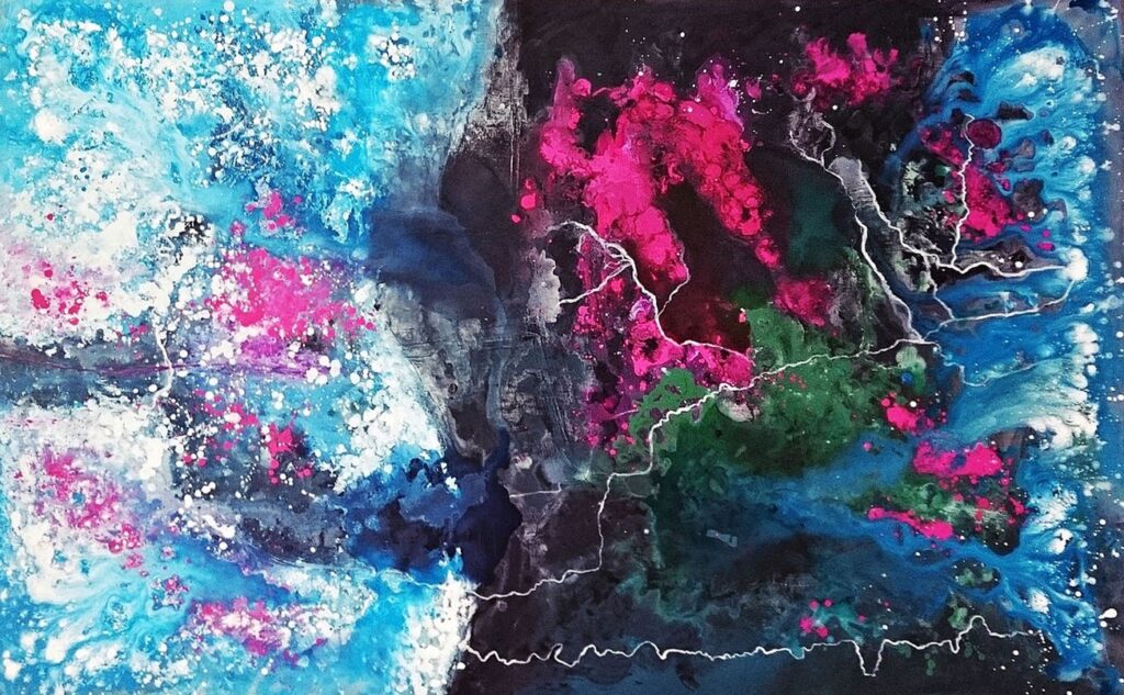
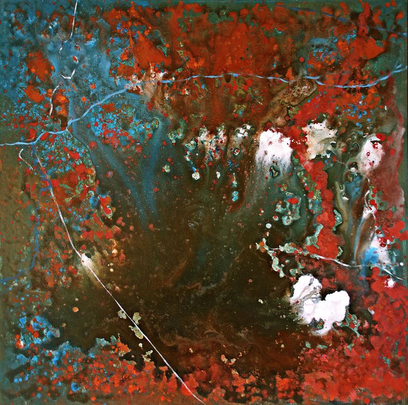
The satellite images also offer a new perspective on nature, which has inspired artists for thousands of years. An outstanding example is Susen Reuter‘s project in which she creates paintings based on earth observations with optical and radar satellites.
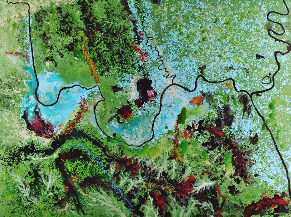
Exhibition “GEO ART – EARTH FROM SPACE”
Susen Reuter’s works can be viewed at the Living Planet Symposium 2025 from June 23 to 27, 2025 at the Austria Center in Vienna. More information about the exhibition
“Satellite art” as a global bridge
Copernicus-derived art has already served as a bridge between the EU and its partners. To celebrate the 45th anniversary of the Delegation of the European Union to Canada, it presented a Copernicus art exhibition, consisting of 24 satellite images of European and Canadian cities captured by Copernicus Sentinel satellites. This exhibition was displayed throughout 2021 and 2022 in 6 cities (Ottawa, Toronto, Edmonton, Halifax, Montreal and Vancouver) across Canada, showcasing the value of cooperation and the beauty of the Earth to the Canadian public.
„The exhibit offers a wonderful occasion to admire the beauty of our Planet Earth and the variety of its landscapes from space, while highlighting he importance of science, research and innovation to our collective well-being“
Dr Melita Gabrič, Ambassador of the European Union to Canada
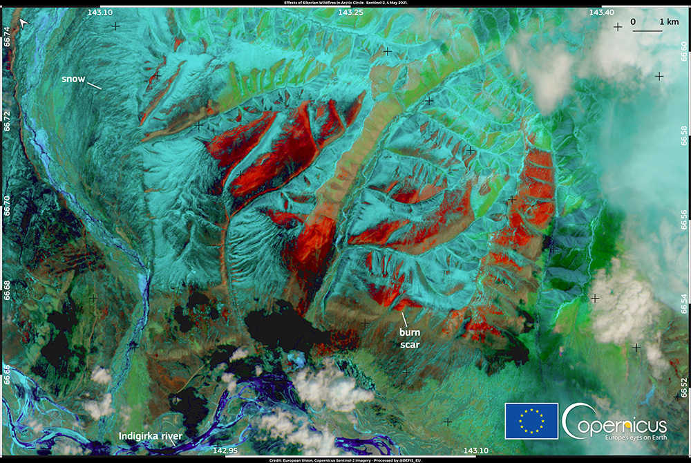
Fragile beauty
In addition to its aesthetic appeal, art inspired by satellite imagery also has the ability to raise awareness of threats such as climate change. Copernicus images show both the beauty and the fragile state of nature. It emphasizes the need to preserve the beauty of our planet.
Credits
Original contribution by Copernicus. Translated, supplemented and summarized by ESERO Austria.
Satellite images: European Union, Copernicus, ESA
Paintings: Susen Reuter