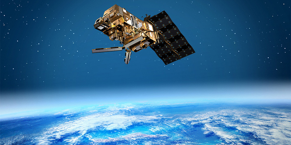
Picture credit: MetOp, ESA
In an interview, Othmar Coser of the Austrian Space Forum talks about the use of satellites for natural disasters as they occur currently in the Philippines, but also about how we humans can else use this technology in space. At THU November 14, 2013, 8 PM, he personally talks during a Deep Space LIVE at the Ars Electronica Center and presents the MetOp satellite with spectacular images.
While we conduct the interview, the majority of the Earth observation satellite GOCE was destroyed and the last parts just sink in the oceans. You have already presented it in October 2013 during a Deep Space LIVE and now it has reached the end of its operating …
These were the last moves of the GOCE satellite, because, quite simply, the fuel has gone to an end. Satellites are generally produced for a period of time: on the one hand, they provide exactly the data that I need for a project during a defined period of time, on the other hand, it is also ensured that the satellite maintains forecasts in this period at least – thinking of all the adverse circumstances and influences acting on the satellite in its orbit. In general, the satellites work actually longer than they were planned for the mission, and of course, they will be used in operation beyond this period – it would be very silly to disable them before. Envisat, the largest environmental satellite in the world with its ten instruments, was planned for a period of five years.
It started in 2002 and could continue to be operated until 2012, because it has proven that good. Unfortunately, here the communication unit between the ground station and the satellite failed in April 2012 – he’s still flying, but the data is no longer available for us on Earth. It happens. But the satellite could be used twice as long as scheduled. That is the fact for the satellite GOCE, but also for the MetOp satellites that I will present at Deep Space LIVE. Here are three sequentially launched satellites planned. MetOp-B will not automatically replace its predecessor MetOp-A. We use this infrastructure as long as possible, because it also involves a lot of money.

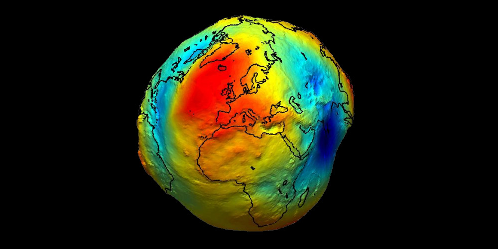
Picture credit: GOCE, ESA
For four years, the satellite GOCE has gathered an enormous amount of data to find out new facts about the Earth’s gravity. How can help us data, for example, about the earth’s gravity?
Generally the raw data of ESA is available for anyone who is interested – for scientific institutions and private persons – for free of charge. This is in the sense of the European Space Agency, as it was taught to me when I have visited the Institute ESRIN, the ESA Centre for Earth Observation, in Frascati, Italy south of Rome in 2010. Of course you still need the tools to analyze this huge amount of data. EUMETSAT, a subsidiary of the ESA, can provide this service, which is then billed, but the raw data is free of charge. Then it is important to know which topic I want to cover. Thus, for example, can be simplified calculations for static constructions thanks to satellite data if one has accurate information about the surface of the earth itself and the gravitation on this place.
We also try to look into the depths of our planet with these data, without having to perform any drills. It’s technically impossible to drill several thousands of kilometers into the earth. With this data we recognize the shifts of the continental plates and are able to monitor them for a period of time. So we can create projections, once we know the speeds. The forecasts that we currently have available are like a crystal ball – and that’s why we want to compress data in this way that events can then be truly predicted so that you can act before, and not only are able to react behind.
If we look on the devastating cyclone “Haiyan” like these days with its massive destruction across the Philippines, thousands of people casualties and hundreds of thousands made homeless: What can we learn with these earth observation satellites such as the MetOp about these weather extremes?
In the long term we can learn a lot, as I will explain in the presentation with the MetOp satellites. You have to see: There are not that many different parameters that we can measure in our atmosphere. When it comes to the weather, for us temperature, wind speed , wind direction , and other things are interesting – depending on height . Satellites will not replace the conventional meteorology, because we still operate our weather stations, start our weather balloons, and so on . With the data of the satellites we can create a global model, based on satellite data, that can additionally be accessed by the meteorologists. What we measure are trace gases such as methane and ozone. This can be used for long term climate monitoring .
For example we can use data from the Envisat satellite and see purely on the measurement of nitrogen dioxide all the major cities in Europe. You can see the ship routes through the emission of the chimneys of ships. We see the busiest highway in Germany, the A8, in Munich or Stuttgart and almost every single exhaust that goes there. And from this you are able to extrapolate. We see fires from space – due to the annual evaluations, we can say that every hour somewhere in the world large fires around the world take place. These fires again correlate with the CO2 emissions – which can be traced all well. Based on these data over several years you can create global models and explain the trends. But what you do with these data and if you want to understand it… it depends on everyone who uses the data – that’s the problem.

Bildcredit: MetOp, ESA
This is a shortened version of the interview – please read the German edition with further questions.