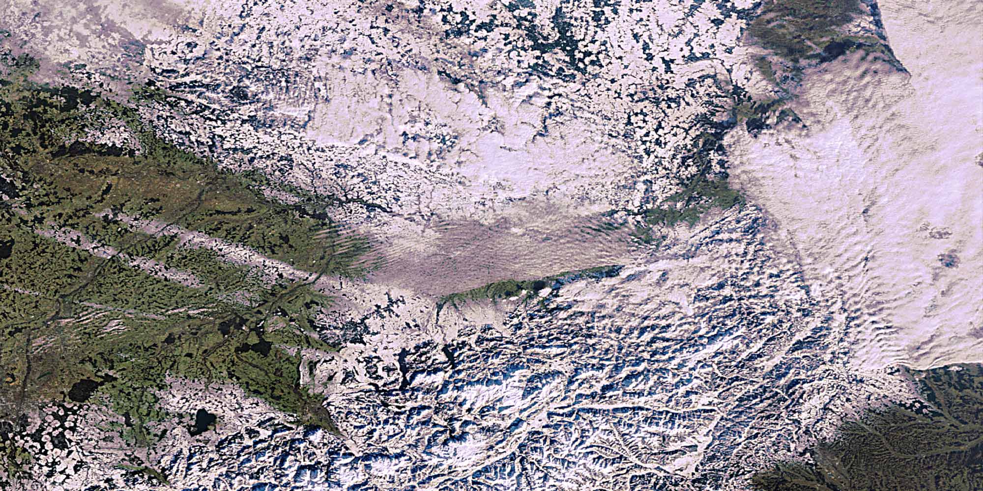
With its scenic diversity and uniqueness, the region around Upper Austria has become a wonderful place for people to live. The technological advances of the last century made it possible to understand and capture this place from a distance. The European Space Agency (ESA) and the German Aerospace Center (DLR) produce many fascinating satellite images of our planet. By playing with different satellite-generated levels such as rivers, the comparison of different satellite images, and the interaction of satellite animations, this installation makes it possible to explore the region around Upper Austria interactively on a milled 3D elevation model.
Credit: Ars Electronica Solutions,
Partner: ESA, DLR
