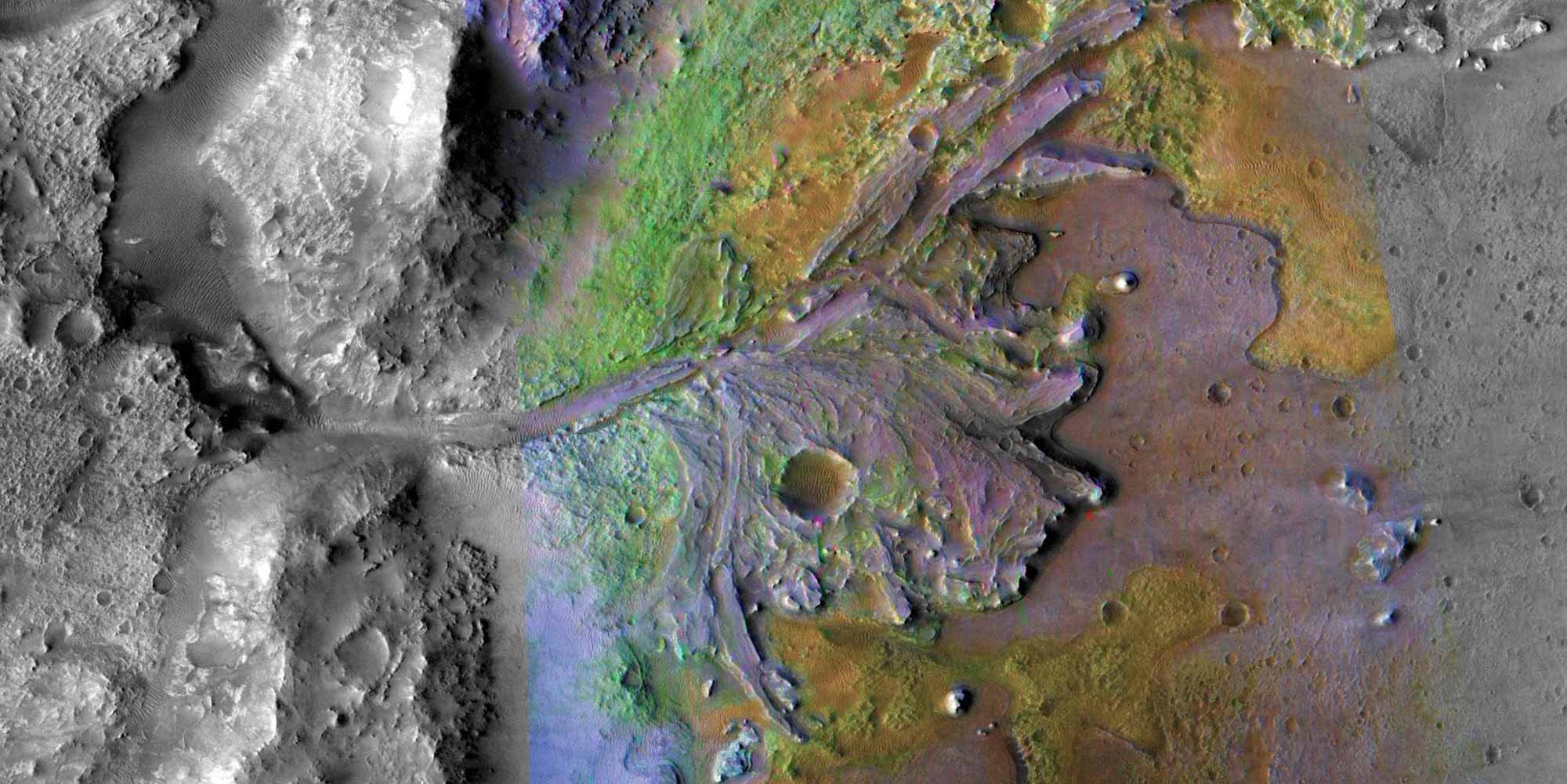
Remote sensing is the acquisition of information about an object, area, or phenomenon without making physical contact. Typically performed by satellite or aircraft that measure the reflected or emitted electromagnetic radiation from a surface. Applications of remote sensing include, Geology, Hydrology, Agriculture, Conservation, Urban Planning, Transportation, Glaciology, Forestry, Ecology, to mention a few.
Infrastructure and materials: Computer for image editing and accessing Google Earth.